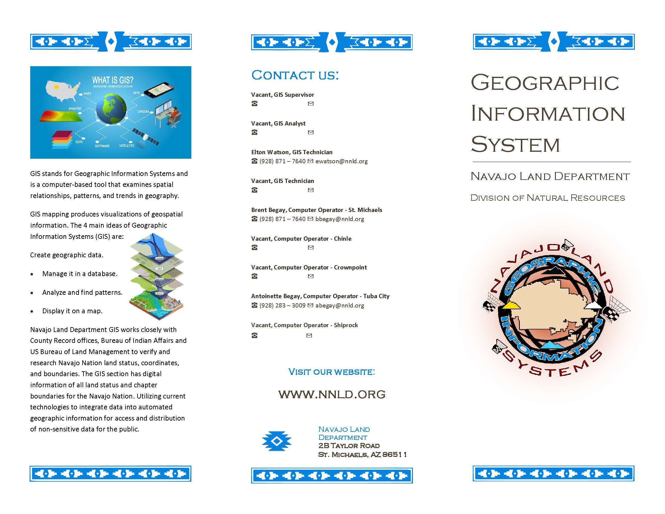
GEOGRAPHIC INFORMATION SYSTEM
			 Geographic Information System
			
            Geographic Information System (GIS)'s group mission is to establish a positive working relationship with Navajo Land Employees and their clients; to develop and manage
            GIS and IT software and hardware. We provide various computer generated maps with land layers, boundaries and land status information on the Navajo Nation. Also, coordinate, guide,
            and administer all digital information of the Navajo Nation´s land utilizing current technologies to integrate this data into an effective, efficient and productive medium to make
            general informative maps available to the public.
            The Navajo Land Department GIS section acquires data from numerous internal divisions, departments, with permission from respective sources for mapping purposes only. We do not share
            this data. However, if one requires certain GIS data, please feel free to contact the respective owners (ex: Navajo Department of Water Resources, Navajo Division of Transportation,
            Navajo Tribal Utility Authority, etc..), the Navajo Community Boundary Data, we use the US Census boundaries for the communities of the Navajo Nation, and if you require Grazing
            Boundaries, please contact BIA area offices.
            Also, process crime scene land status verifications for Federal Bureau of Investigation and Navajo Nation Department of Criminal Investigation.
            Simple Disclaimer: The maps are provided to give a visual display of Navajo Nation Land data from various sources. See our staff for complete accuracy and most the current Navajo Nation
            Land data information. 
	
	        
 GIS's Informative Pamphlet
         Click Here
GIS's Informative Pamphlet
         Click Here to download.	
	
            
RELATED LINKS:
            
            
            For more information please contact:


                    Elton Watson
                    GIS Technician
                    ☎ Phone: 928-871-7640
					☎ Mobile: 505-422-9650
                    ✉ 
ewatson@nnld.org


                    GIS Technician
                    ☎ Phone: 928-871-7638
                    ✉ 


                    Brent Begay
                    Computer Operator - St. Michaels
                    ☎ Phone: 928-871-7638
                    ✉ 
bbegay@nnld.org


                    Antoinette Begay
                    Computer Operator - Tuba City
                    ☎Phone: 928-283-3009
                    ✉ 
abegay@nnld.org


                    Williamena Begay
                    Computer Operator - Shiprock
                    ☎Phone: 505-368-1120/1122
                    ✉ 
wbegay@nnld.org


                    Jessica James
                    Office Specialist (NLTDS)
                    ☎ Phone: 928-871-7640
                    ✉ 
jrjames@nnld.org